PRESENTATION
LAND IT is a spatial decision support system, available as a web app, designed to assist AIGP managing entities in planning and executing territorial reorganisation. This reorganisation aims to improve the efficiency and effectiveness of land management while making the landscape more resilient to large wildfires, as seen in the municipality of Mação.
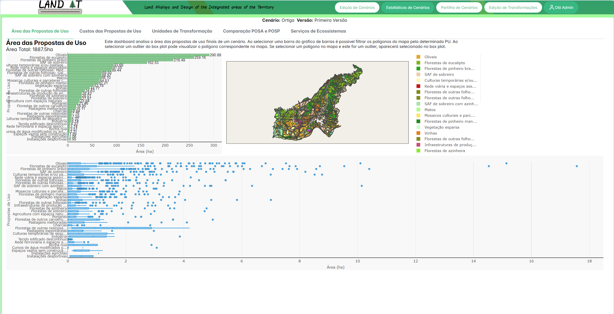
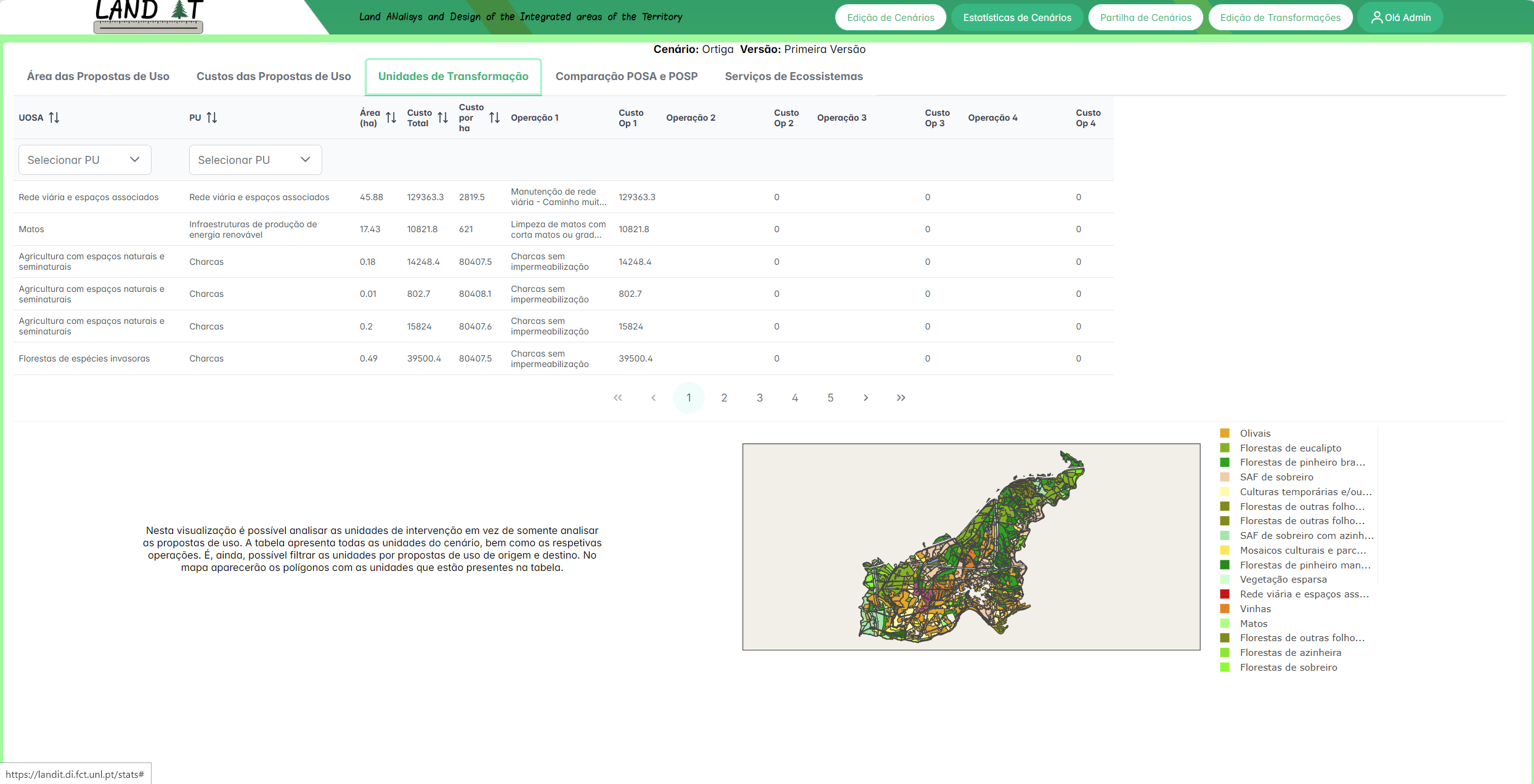
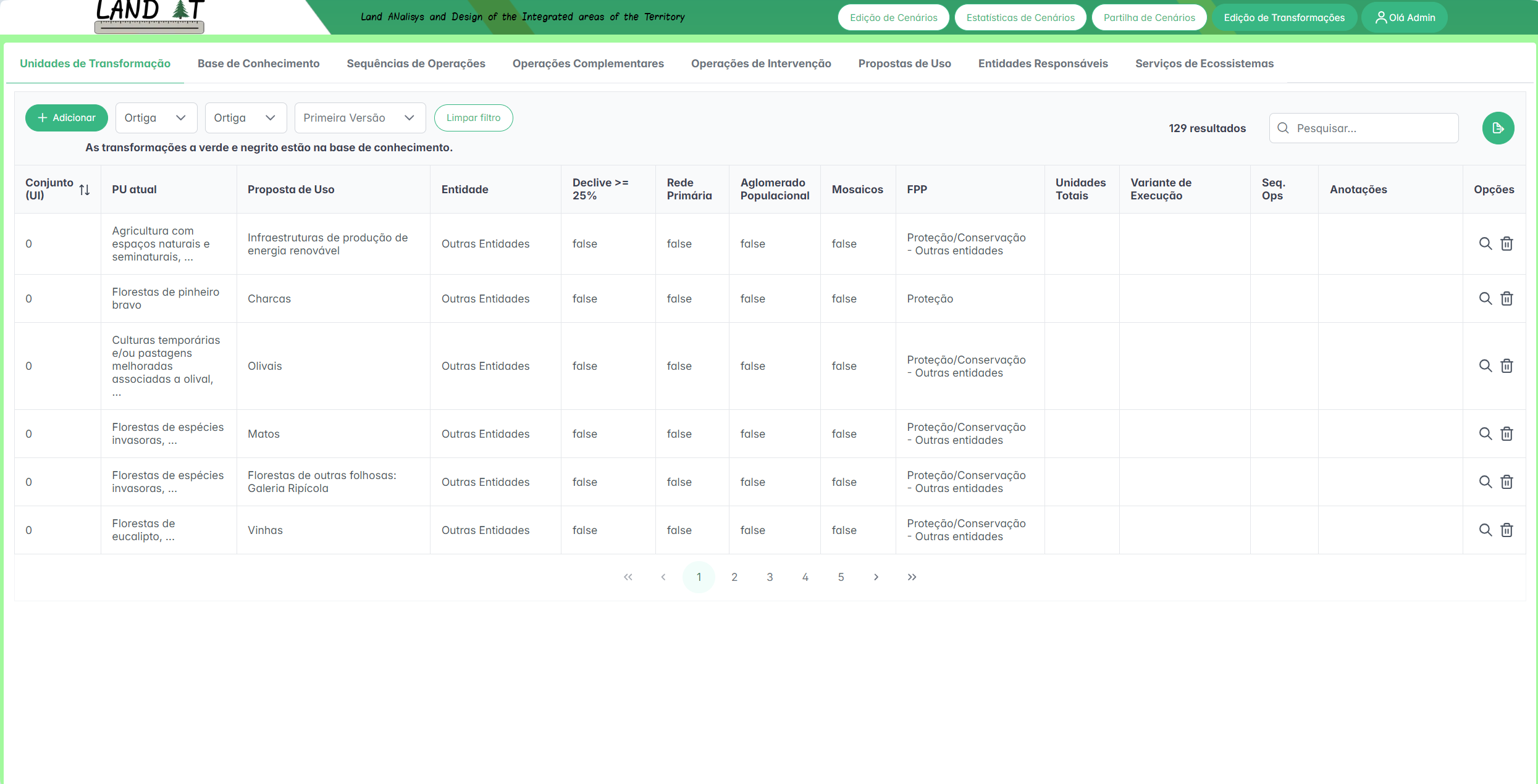
This system allows users to develop territorial reorganisation scenarios and define the operations to be implemented during transformation. Additionally, users can share scenarios with each other, analyse them, and compare them statistically to select the best solution for the territory.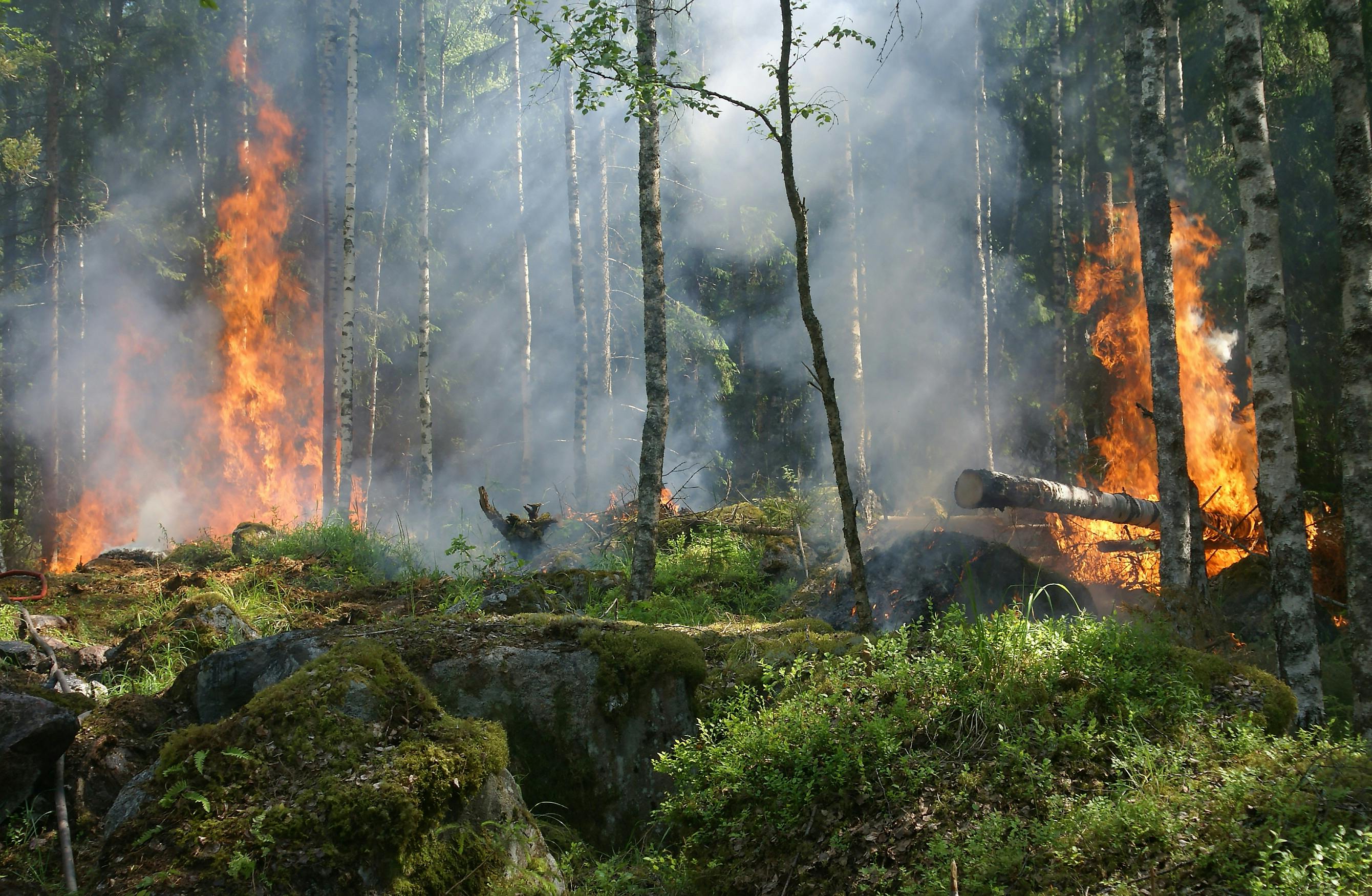
This system allows users to develop territorial reorganisation scenarios and define the operations to be implemented during transformation. Additionally, users can share scenarios with each other, analyse them, and compare them statistically to select the best solution for the territory.
IMAGES & VIDEOS
Define Polygon Transformation
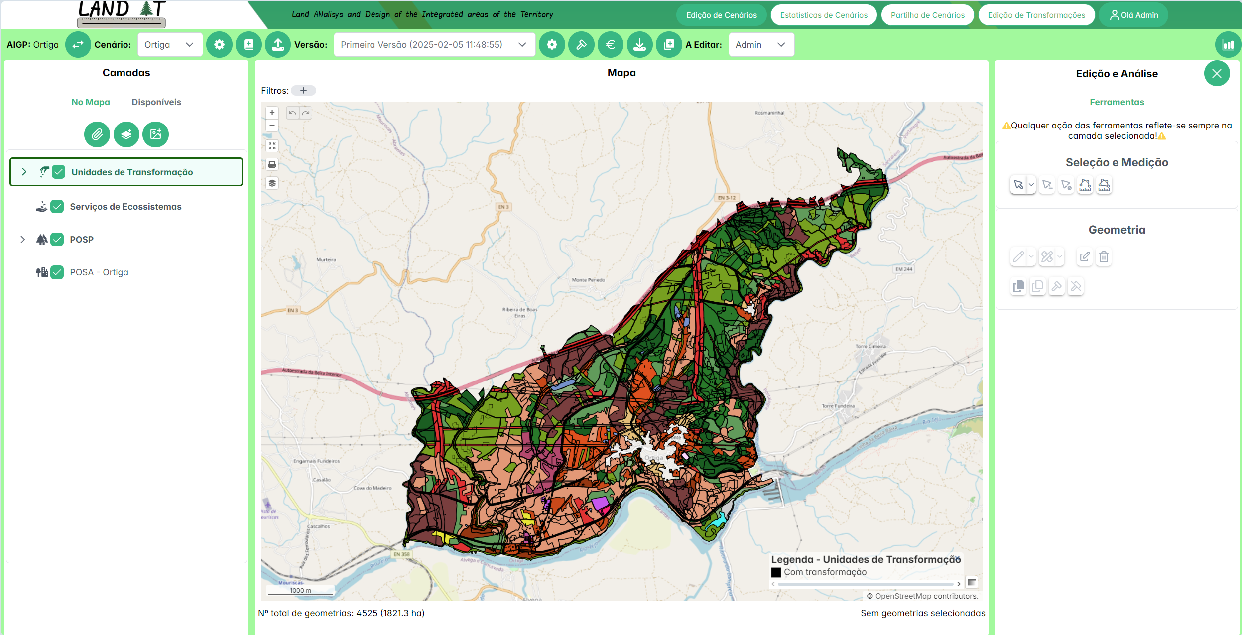
Scenario Editing
OPEN SOURCE PROJECTS

OpenLayers Style Editor
This project is an extension for OpenLayers, an open-source library for map visualization. The extension aims to provide a geometry style editor with an intuitive interface for end users. Four types of styles are available: unique symbol, categorized, quantitative and based on rules.
TEAM
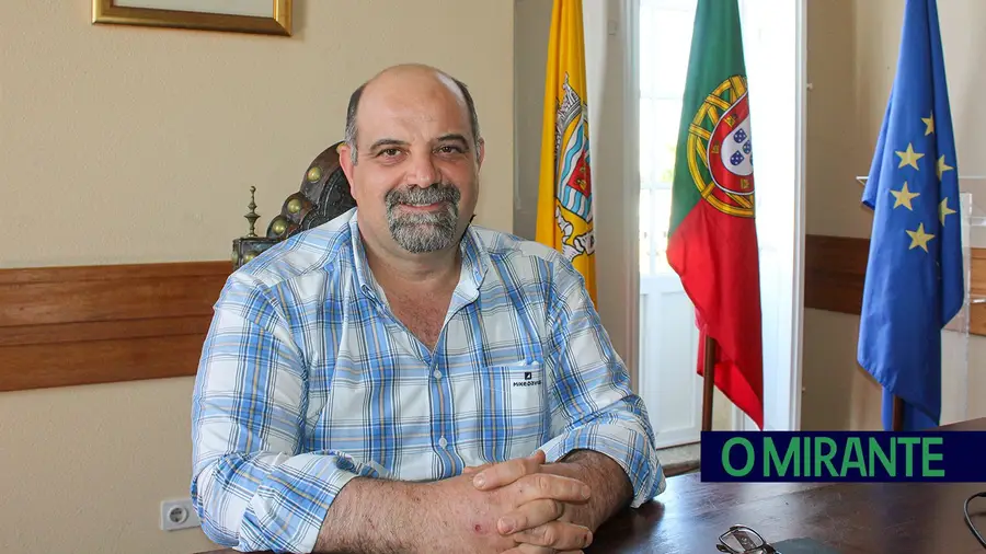
Eng. António Louro
Executive Sponsor

Prof. João Moura Pires
Strategic Advisor & Project Visionary

Márcia Matias
Technical Founder & Technical Advisor

Francisca Silva
Full-Stack Engineer

Bruno Carmo
Full-Stack Engineer
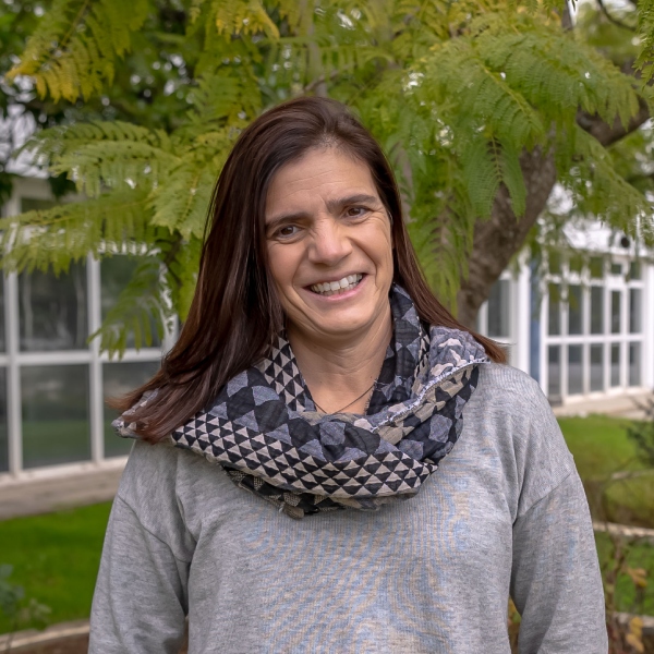
Prof. Cristina Henriques
Technical Advisor